Open Source Portal
The Harvard Dataverse is a web-based data repository where all research data collected through the Convex Seascape Survey is stored. The repository is free to use, and you can download, share, cite and explore our data - from environmental, biological and historical datasets, to maps and photographs. We believe in this open-source approach to facilitate transparency and the advancement of knowledge, which is particularly needed in the rapidly-evolving field of blue carbon science.

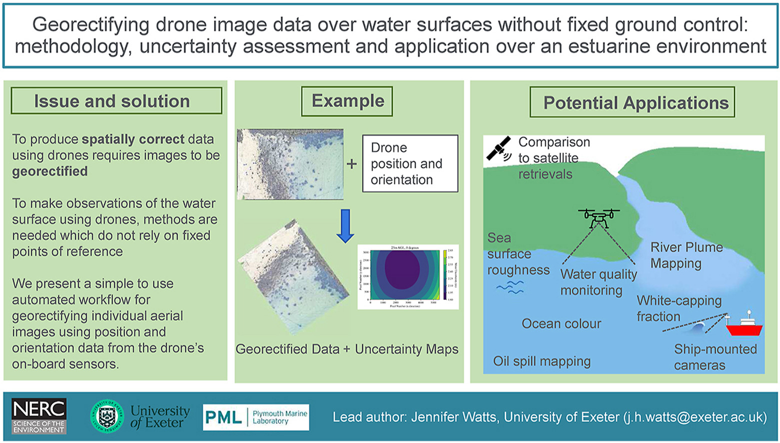
Georectifying drone image data over water surfaces without fixed ground control: Methodology, uncertainty assessment and application over an estuarine environment
Light-weight consumer-grade drones have the potential to provide geospatial image data to study a broad range of oceanic processes. However, rigorously tested methodologies to effectively and accurately geolocate and rectify these image data over mobile and dynamic water surfaces, where temporally fixed points of reference are unlikely to exist, are limited. We present a simple to use automated workflow for georectifying individual aerial images using position and orientation data from the drone’s on-board sensor (i.e. direct-georectification). The presented methodology includes correcting for camera lens distortion and viewing angle and exploits standard mathematics and camera data processing techniques. The method is…

